
Porterville topographic map
Interactive map
Click on the map to display elevation.
About this map
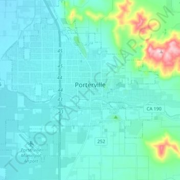
Name: Porterville topographic map, elevation, terrain.
Location: Porterville, Tulare County, California, USA (36.00774 -119.09817 36.11636 -118.96388)
Average elevation: 175 m
Minimum elevation: 120 m
Maximum elevation: 543 m