
Undundi-Wandandi topographic map
Interactive map
Click on the map to display elevation.
About this map
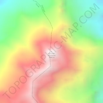
Name: Undundi-Wandandi topographic map, elevation, terrain.
Location: Undundi-Wandandi, Paniai, Papua, Indonesia (-3.50674 136.42266 -3.50664 136.42276)
Average elevation: 3,185 m
Minimum elevation: 2,660 m
Maximum elevation: 3,629 m
Other topographic maps
Click on a map to view its topography, its elevation and its terrain.