
Plymouth topographic map
Click on the map to display elevation.
About this map
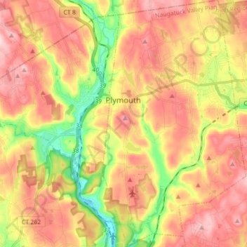
Name: Plymouth topographic map, elevation, terrain.
Average elevation: 214 m
Minimum elevation: 84 m
Maximum elevation: 317 m
Other topographic maps
Click on a map to view its topography, its elevation and its terrain.
Hancock
United States > Connecticut > Naugatuck Valley Planning Region > Plymouth
Average elevation: 217 m
Terryville
United States > Connecticut > Naugatuck Valley Planning Region > Plymouth
Average elevation: 216 m