
Thank you for supporting this site ❤️
Make a donation
Make a donation
Kharkiv Oblast topographic map
Click on the map to display elevation.
Thank you for supporting this site ❤️
Make a donation
Make a donation
About this map
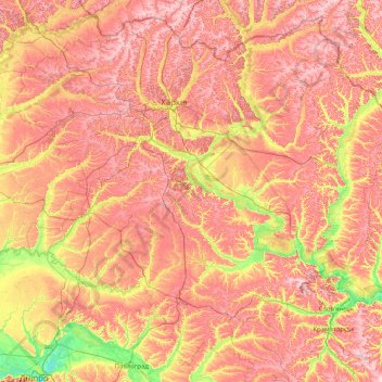
Name: Kharkiv Oblast topographic map, elevation, terrain.
Location: Kharkiv Oblast, Ukraine (48.53118 34.85631 50.45948 38.09353)
Average elevation: 143 m
Minimum elevation: 48 m
Maximum elevation: 249 m
Thank you for supporting this site ❤️
Make a donation
Make a donation
Other topographic maps
Click on a map to view its topography, its elevation and its terrain.