
Thank you for supporting this site ❤️
Make a donation
Make a donation
Malung topographic map
Click on the map to display elevation.
Thank you for supporting this site ❤️
Make a donation
Make a donation
About this map
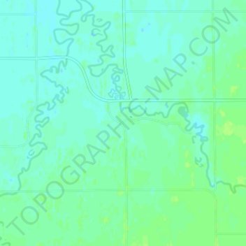
Name: Malung topographic map, elevation, terrain.
Location: Malung, Roseau County, Minnesota, 56751, United States (48.75246 -95.74415 48.79246 -95.70415)
Average elevation: 324 m
Minimum elevation: 320 m
Maximum elevation: 330 m
Thank you for supporting this site ❤️
Make a donation
Make a donation
Other topographic maps
Click on a map to view its topography, its elevation and its terrain.