
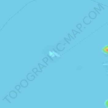
Dicalatan Island (Pass Island) topographic map
Interactive map
Click on the map to display elevation.
About this map
Name: Dicalatan Island (Pass Island) topographic map, elevation, terrain.
Average elevation: 0 m
Minimum elevation: 0 m
Maximum elevation: 46 m
Other topographic maps
Click on a map to view its topography, its elevation and its terrain.
Darab Island
Philippines > Palawan > Culion
Darab Island, Culion, Palawan, Mimaropa, Philippines
Average elevation: 26 m
Lato island
Philippines > Palawan > Culion
Lato island, Culion, Palawan, Mimaropa, 5315, Philippines
Average elevation: 14 m
Culion
Philippines > Palawan > Culion
Culion, Palawan, Mimaropa, 5315, Philippines
Average elevation: 44 m
Galoc Island
Philippines > Palawan > Culion
Galoc Island, Culion, Palawan, Mimaropa, 5315, Philippines
Average elevation: 9 m