
Banchory topographic map
Click on the map to display elevation.
About this map
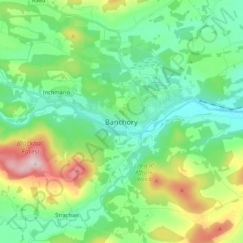
Name: Banchory topographic map, elevation, terrain.
Location: Banchory, Aberdeenshire, Scotland, AB31 5TD, United Kingdom (57.01139 -2.54446 57.09139 -2.46446)
Average elevation: 118 m
Minimum elevation: 34 m
Maximum elevation: 333 m