
Thank you for supporting this site ❤️
Make a donation
Make a donation
Schmitten im Taunus topographic map
Click on the map to display elevation.
Thank you for supporting this site ❤️
Make a donation
Make a donation
About this map
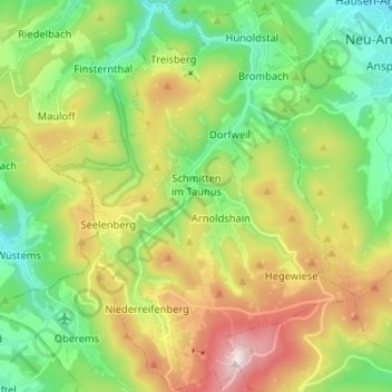
Name: Schmitten im Taunus topographic map, elevation, terrain.
Location: Schmitten im Taunus, Hochtaunuskreis, Hesse, 61389, Germany (50.22574 8.39395 50.30809 8.49759)
Average elevation: 526 m
Minimum elevation: 315 m
Maximum elevation: 884 m
Thank you for supporting this site ❤️
Make a donation
Make a donation