
Stockton topographic map
Click on the map to display elevation.
About this map
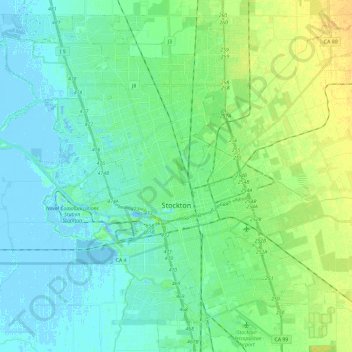
Name: Stockton topographic map, elevation, terrain.
Location: Stockton, San Joaquin County, California, United States (37.88775 -121.41974 38.05830 -121.18404)
Average elevation: 7 m
Minimum elevation: -7 m
Maximum elevation: 23 m