
Area D (Tabor Lake/Stone Creek) topographic map
Interactive map
Click on the map to display elevation.
About this map
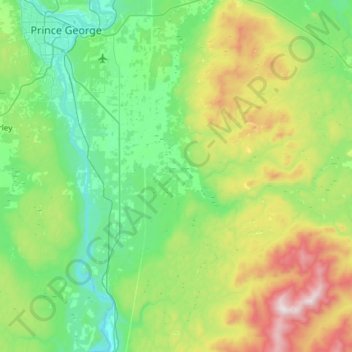
Name: Area D (Tabor Lake/Stone Creek) topographic map, elevation, terrain.
Average elevation: 831 m
Minimum elevation: 530 m
Maximum elevation: 1,741 m