
Northampton topographic map
Click on the map to display elevation.
About this map
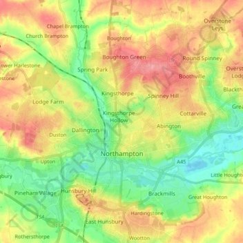
Name: Northampton topographic map, elevation, terrain.
Location: Northampton, West Northamptonshire, England, United Kingdom (52.21939 -0.95505 52.28270 -0.79137)
Average elevation: 89 m
Minimum elevation: 49 m
Maximum elevation: 135 m