
Mount Manenguba topographic map
Interactive map
Click on the map to display elevation.
About this map
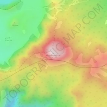
Name: Mount Manenguba topographic map, elevation, terrain.
Location: Mount Manenguba, Bangem, Kupe-Muanenguba, Southwest, Cameroon (5.02172 9.84233 5.02182 9.84243)
Average elevation: 2,112 m
Minimum elevation: 1,829 m
Maximum elevation: 2,367 m