
Pleasanton topographic map
Interactive map
Click on the map to display elevation.
About this map
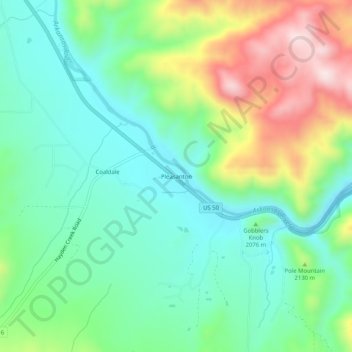
Name: Pleasanton topographic map, elevation, terrain.
Location: Pleasanton, Fremont County, Colorado, USA (38.34500 -105.76778 38.38500 -105.72778)
Average elevation: 2,085 m
Minimum elevation: 1,954 m
Maximum elevation: 2,357 m