
Hecklingen topographic map
Interactive map
Click on the map to display elevation.
About this map
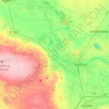
Name: Hecklingen topographic map, elevation, terrain.
Location: Hecklingen, Salzlandkreis, Saxony-Anhalt, 39444, Germany (51.81010 11.32879 51.92083 11.57297)
Average elevation: 96 m
Minimum elevation: 31 m
Maximum elevation: 185 m