
Thank you for supporting this site ❤️
Make a donation
Make a donation
Repelón topographic map
Click on the map to display elevation.
Thank you for supporting this site ❤️
Make a donation
Make a donation
About this map
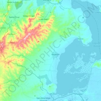
Name: Repelón topographic map, elevation, terrain.
Location: Repelón, Atlántico, Colombia (10.39683 -75.25254 10.60860 -75.02382)
Average elevation: 82 m
Minimum elevation: 0 m
Maximum elevation: 502 m
Thank you for supporting this site ❤️
Make a donation
Make a donation