
Mansfield topographic map
Click on the map to display elevation.
About this map
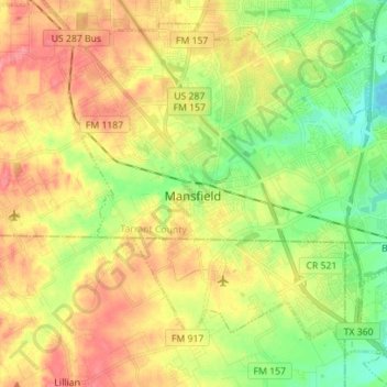
Name: Mansfield topographic map, elevation, terrain.
Location: Mansfield, Tarrant County, Texas, 76063, United States (32.51209 -97.18712 32.61612 -97.04678)
Average elevation: 187 m
Minimum elevation: 157 m
Maximum elevation: 227 m