

Paris Basin topographic map
Click on the map to display elevation.
Paris Basin
The landscape is one of very broad valleys (flood plains), modest watershed hills and well-drained plateaux of comparatively little altitude. In the south-east and east the plain of Champagne and the Seuil de Bourgogne (Threshold of Burgundy) differential erosion of the strata has left low scarps with the dip slopes towards the centre. The varying nature of the clays, limestones and chalk gives rise to the characteristics of the regions such as Champagne Humide (Damp Champagne), Champagne Pouilleuse (poor Champagne), the Pays de Caux and the Pays de Bray.
About this map
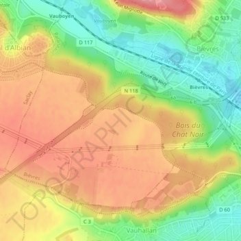
Name: Paris Basin topographic map, elevation, terrain.
Average elevation: 126 m
Minimum elevation: 70 m
Maximum elevation: 174 m