
Tailles topographic map
Click on the map to display elevation.
About this map
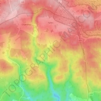
Name: Tailles topographic map, elevation, terrain.
Location: Tailles, Houffalize, Bastogne, Luxembourg, Wallonia, Belgium (50.18335 5.70967 50.23613 5.80883)
Average elevation: 541 m
Minimum elevation: 388 m
Maximum elevation: 639 m
Other topographic maps
Click on a map to view its topography, its elevation and its terrain.