
Calcium topographic map
Interactive map
Click on the map to display elevation.
About this map
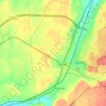
Name: Calcium topographic map, elevation, terrain.
Average elevation: 155 m
Minimum elevation: 125 m
Maximum elevation: 182 m
Other topographic maps
Click on a map to view its topography, its elevation and its terrain.
Village of Black River
United States > New York > Jefferson County
Village of Black River, Town of Le Ray, Jefferson County, New York, United States
Average elevation: 193 m