
Hudson topographic map
Interactive map
Click on the map to display elevation.
About this map
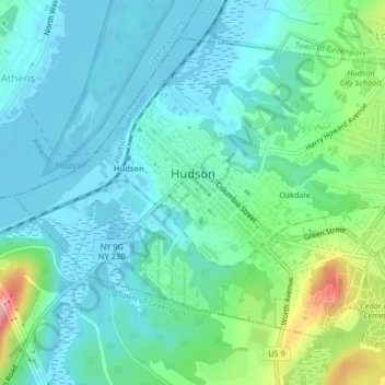
Name: Hudson topographic map, elevation, terrain.
Location: Hudson, Columbia County, New York, 12534, United States (42.23919 -73.80897 42.26347 -73.76808)
Average elevation: 28 m
Minimum elevation: -3 m
Maximum elevation: 127 m